Triglav National Park Day Hikes by Public Transport
Editorial note: Canopy Trips has no paid placement in this guide. Booking.com approval is pending, and this page contains no Booking.com affiliate links.
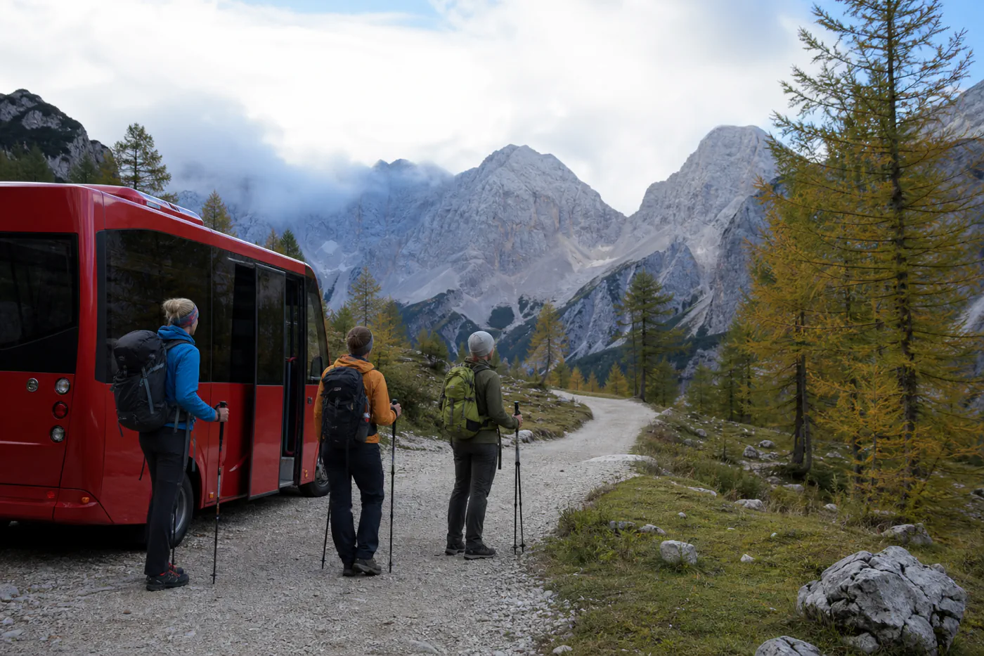
Start with the return bus, then choose the walk. Public transport reaches several valleys and park-edge trail areas, especially in visitor season. It does not make every mountain route a safe day hike, and service often runs around the park rather than deep inside it.
How this page was built: This guide uses Triglav National Park safety and mobility pages, Bohinj’s transport system, the national weather service, and the national journey planner. It does not publish a permanent trail list because conditions, closures, and seasonal routes change. Current prices, schedules, inventory, wildlife conditions, certifications, and access rules are not treated as permanent facts.
The short answer
Choose a low- or moderate-elevation route whose named start and finish both match current public transport, daylight, forecast, official trail status, and the least experienced hiker. Base in Bohinj, Bled, Kranjska Gora, or the Soča Valley according to the trailhead, not according to a generic park label. Keep one earlier turnaround time and one later transport option. Summit Triglav and protected routes are mountaineering objectives, not automatic extensions of a day-bus itinerary.
A useful transit hike passes five tests
| Test | Evidence to find | Reason to reject |
|---|---|---|
| Trailhead | Exact stop and marked route start | Road walk or unclear access |
| Difficulty | Official grade and current condition | Hands, exposure, or gear exceed skill |
| Weather | Mountain forecast and warnings | Storm, heat, wind, snow, or poor visibility |
| Return | Two workable departures after turnaround | Only one fragile last service |
| Fallback | Lower route or valley activity | No safe alternative after disruption |
Choose the valley before the trail
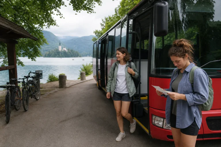
The park spans distinct access systems. Bohinj connects rail at Bohinjska Bistrica with buses and seasonal organized transport. Bled supports visitor shuttles toward selected trail areas. Kranjska Gora and the Soča Valley use their own seasonal networks. Search the exact stop, not only the park name. Confirm the walk from the stop to the trail sign, and do the same at the finish if the route is not an out-and-back. A scenic bus map does not establish that a specific trail is open or suitable.
Use official difficulty, not social-media labels
Triglav National Park distinguishes easy, difficult, and very difficult mountain trails and tells visitors to match the route to the weakest participant. Steel cables, exposure, snowfields, loose terrain, and the need to use hands change the equipment and experience required. Verify current trail notices and hut status. Download a reliable topographic map for offline use, carry a charged phone and backup power, and tell someone the route and expected return. Transit access does not lower mountain consequences.
Build the return from a turnaround time
Write the last safe turnaround before leaving the valley. It should allow for slower walking, breaks, route finding, weather, and the walk back to the stop, then still reach a transport option before the final one. If the service has limited capacity or requires advance purchase, follow the current rule. Do not race downhill to protect a nonrefundable dinner or the last bus. Turning around early is a successful use of the plan, not a failed summit attempt.
Weather can change the entire elevation choice
Check Slovenia’s national meteorological service and park notices before travel and again on the morning of the hike. Valley sun does not establish conditions at altitude. Afternoon storms, wind, heat, rain, fresh snow, or poor visibility can make a planned route unsuitable. Carry layers, rain protection, water, food, sun protection, a basic first-aid kit, and a light even on a day walk. Replace the route with a lower trail or indoor visit when the evidence points away from the mountain.
Morning departure checklist
- Verify the named trail and current condition from official park or trail sources.
- Match difficulty, equipment, and exposure to the least experienced hiker.
- Check mountain weather, warnings, daylight, and any hut or route closure.
- Confirm the exact stop, ticket rule, capacity, and at least one return fallback.
- Set a written turnaround time and keep a lower-elevation alternative.
When public transport and the trail do not form one safe plan
Skip the hike when the final bus is the only return, when the access walk is unclear, when forecast or trail notices are adverse, or when the route demands technical skill the group lacks. Use a licensed mountain guide for an objective that truly requires one, but do not treat a guide as permission to ignore weather, fitness, or official closures.
Claim ledger and primary sources
Each source below supports a named planning fact, not a general sustainability endorsement. Marketplace inventory is commercial information and does not verify an operator’s wildlife, labor, or environmental claims.
- Triglav National Park mountain safety Used for trail classification, preparation, and current-condition process; recheck before every mountain day.
- Triglav National Park mobility Used for current park-edge public transport links; recheck seasonally.
- Bohinj transfers and timetables Used for Bohinj regular and seasonal service rules; recheck for every travel date.
- Slovenian National Weather Service Used for forecast and warning starting point; recheck on the morning of every hike.
- Slovenian National Journey Planner Used for multimodal connection leads; recheck for every travel date.
Continue with Slovenia hiking packing list, Bled versus Bohinj base, Soča Valley without a car.