Cape Town Without a Car: Build a Workable Nature Trip
Affiliate disclosure: This guide contains a marked Viator booking link assigned to an independent travel advisor affiliated with Fora Travel. The advisor may earn a supplier commission from a completed booking at no added cost to you. Availability, prices, operator claims, inclusions, and cancellation terms remain the responsibility of Viator and the listed operator.
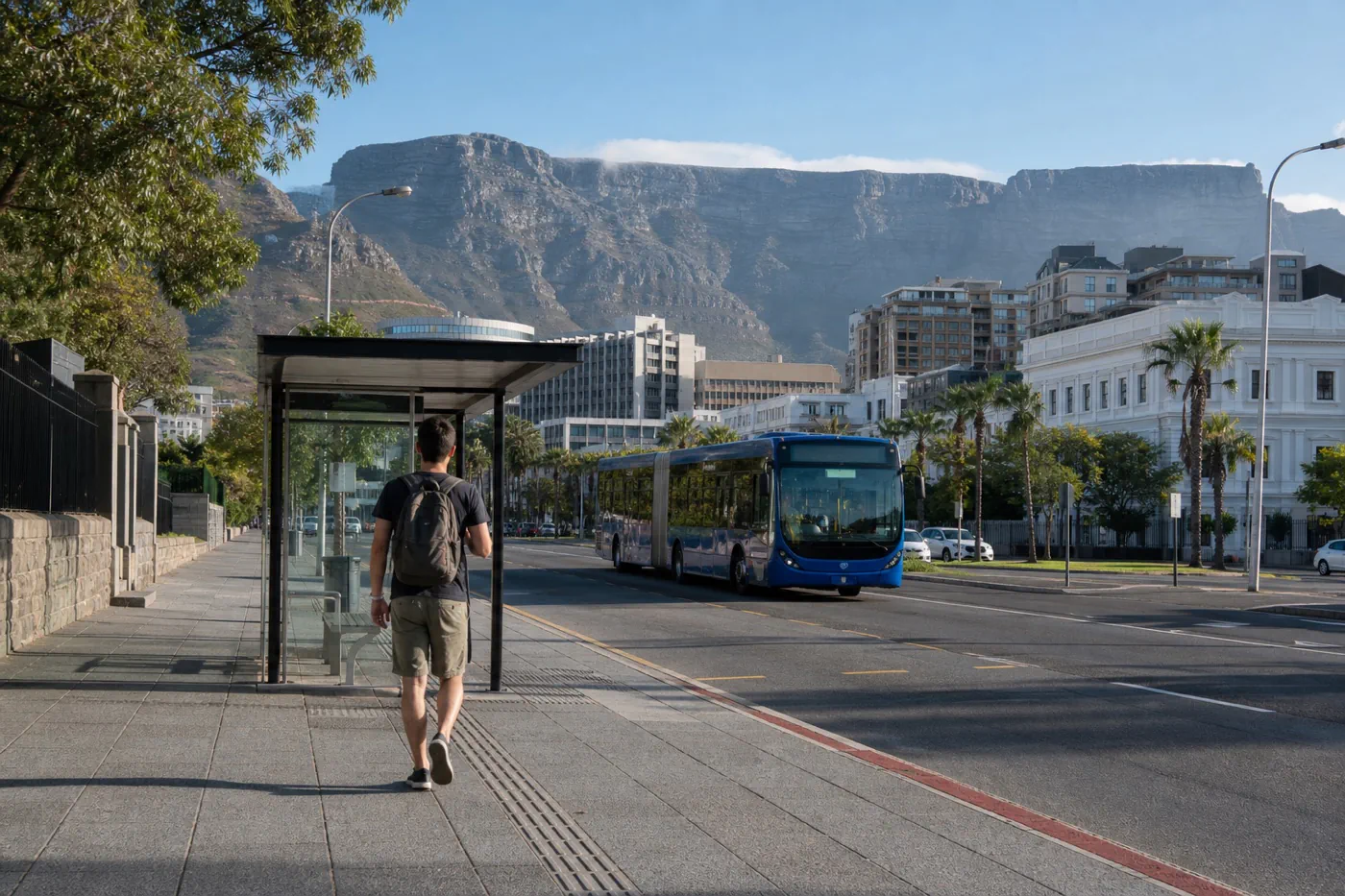
Cape Town can work without a rental car, but not every nature stop works on the same mode. Central neighborhoods and some coastal corridors can align with scheduled public transport. Table Mountain trailheads, Cape Point, Boulders, and late returns require separate planning. The useful question is not whether the city is car-free. It is which mode handles each exact outing.
How this page was built: This guide uses the official MyCiTi planner, City of Cape Town transport information, and SANParks pages for Table Mountain and Boulders. Routes, stops, operating status, payment methods, trail access, and attraction hours require same-day verification. Current prices, schedules, inventory, wildlife conditions, certifications, and access rules are not treated as permanent facts.
The short answer
Stay near a verified MyCiTi corridor for ordinary city days. Use the live journey planner for each trip and keep a taxi or ride-hail fallback. Book a guided peninsula day when Cape Point and Boulders would otherwise require several uncertain legs. Treat mountain transport and hiking safety as a separate plan.
Assign a mode to each outing
| Outing | Practical first choice | Return plan to verify |
|---|---|---|
| Central city and waterfront | Walk plus current MyCiTi routes | Last useful bus, safe walk, weather fallback |
| Atlantic seaboard | MyCiTi where the live route fits | Stop location, service update, evening alternative |
| Table Mountain cableway | Taxi, ride-hail, or verified tour connection | Cableway closure and downhill transport |
| Table Mountain hike | Guide or planned trailhead transfer | Trail exit, daylight, cableway closure, emergency plan |
| Cape Point and Boulders | Guided day trip or private driver | Exact inclusions, entry fees, pickup, return |
Choose the neighborhood from repeat trips
List the three trips the group will make most often, then check the current MyCiTi map and journey planner. A scenic room that requires two extra vehicle rides every day may cost more in time and money than a simpler base near a useful corridor.
Public transport needs a live check
Use the official planner for the exact day and time. Confirm the stop, direction, payment method, service update, return option, and walking segment. Do not rely on an old airport brochure, cached map, or accommodation host’s memory when current service can be checked directly.
The peninsula is a distinct transport problem
Cape Point and Boulders sit far from central Cape Town and have entry, parking, and closing-time considerations. Compare a guided day with a private driver using the same stops and fees. A tour with a compressed wildlife stop may not fit a traveler who wants patient boardwalk time.
Mountain transport must survive a closure
A cableway closure can change both ascent and descent. Hikers need an independent safety and return plan based on the chosen trail, group ability, daylight, weather, and SANParks guidance. Never start a hike because a ride to the lower station was easy to arrange.
Car-free logistics check
- Test the current MyCiTi journey planner for each planned day and time.
- Record the stop, payment method, last useful return, and fallback ride.
- Compare peninsula products by actual stops, fees, pace, and pickup.
- Plan mountain ascent and descent independently of cableway operation.
- Keep offline addresses, emergency numbers, and accommodation contact details.
When a rental car is the simpler tool
Consider a rental when the itinerary includes several dispersed trailheads, an independent peninsula day, or accommodation outside useful transit corridors. Skip the rental when parking, left-side driving, alcohol plans, or urban-only days create more burden than value.
Compare a current sightseeing transport loop
Inspect the current route map, stop list, frequency, operating hours, ticket duration, accessibility, child terms, commentary, and cancellation. It is a sightseeing product, not a substitute for every MyCiTi or peninsula trip.
Review a current Cape Town sightseeing bus
Claim ledger and primary sources
Each source below supports a named planning fact, not a general sustainability endorsement. Marketplace inventory is commercial information and does not verify an operator’s wildlife, labor, or environmental claims.
- MyCiTi home and journey planner Used for official live public-transport planning; recheck immediately before publication and monthly.
- MyCiTi route and stop map Used for official current network starting point; recheck immediately before publication and monthly.
- City of Cape Town transport information Used for official city transport context; recheck before publication and quarterly.
- SANParks Table Mountain National Park Used for official mountain and park access context; recheck immediately before publication and quarterly.
- SANParks Boulders Penguin Colony Used for official Boulders visitor requirements; recheck immediately before publication and quarterly.
Continue with Cape Point and Boulders transport choice, Cableway versus guided hike, Cape Town and Kruger route.